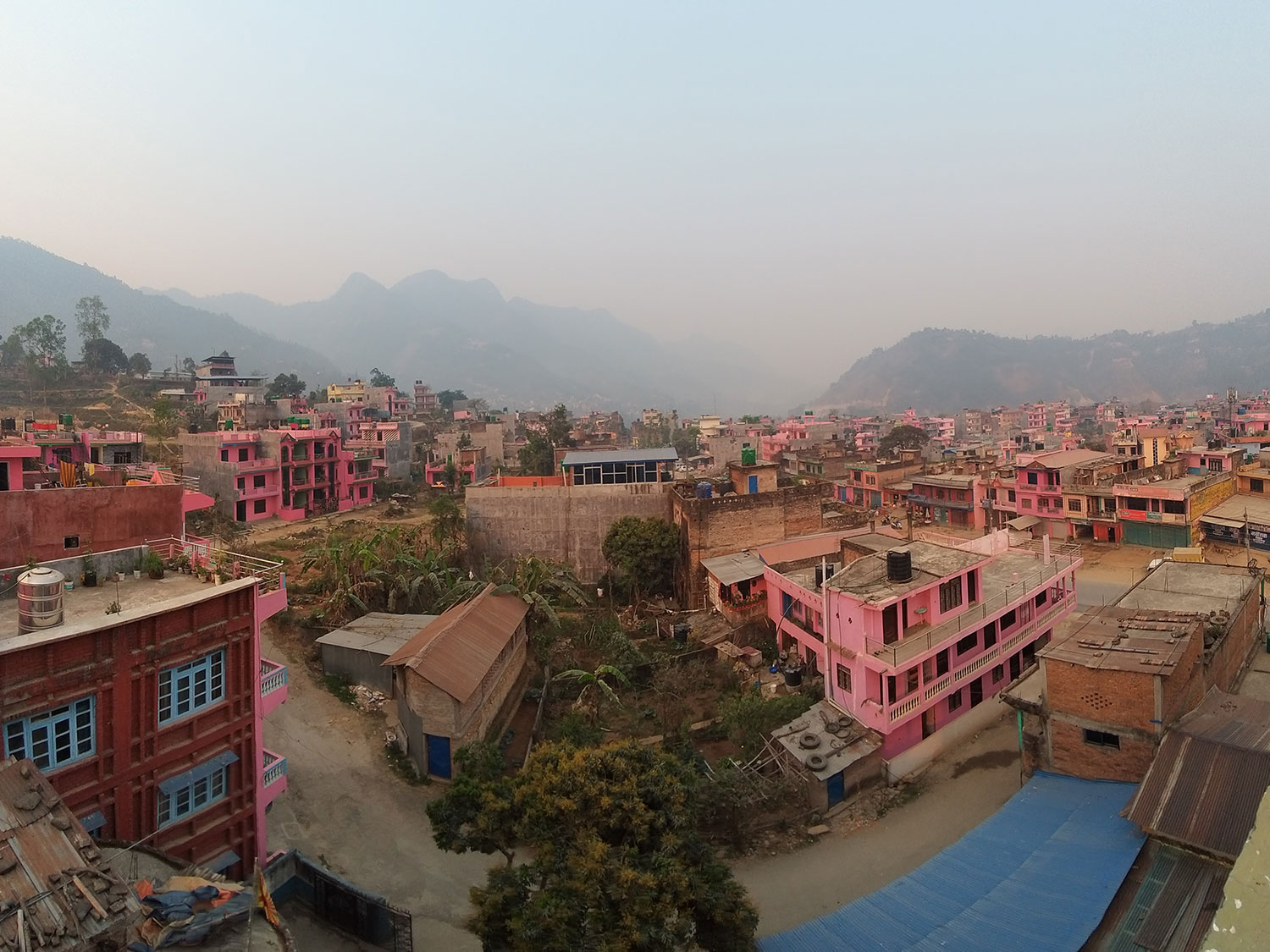
Introduction
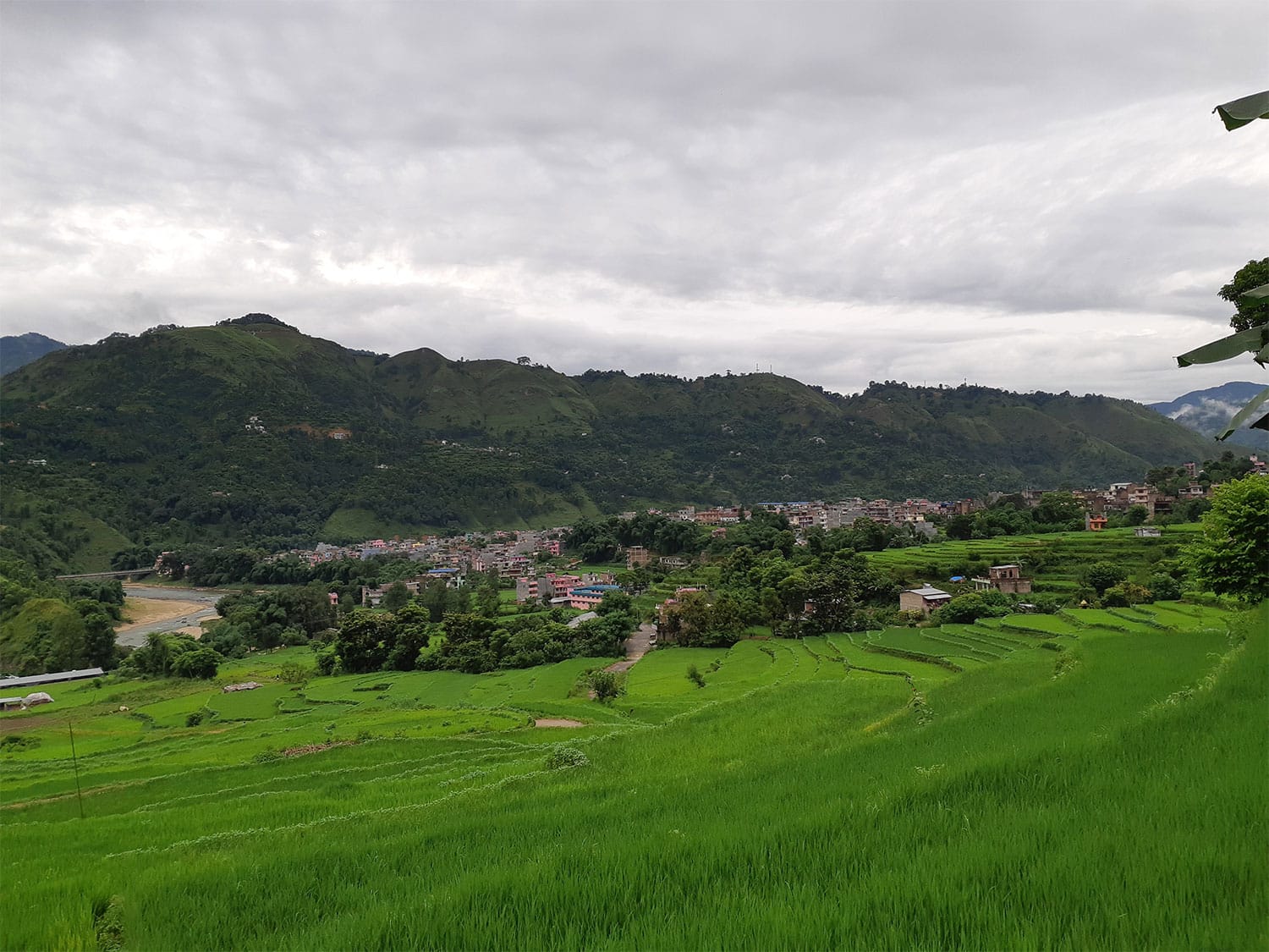
Waling declared itself open defecation free between 2011 and 2013, but later assessments found groundwater pollution and faecal sludge leaving the town untreated, with only a small faecal sludge treatment plant (FSTP) of 2 m³/day to serve 50,488 people (2021 Census). About 1,280 buildings sit in flood-prone areas, where toilets back up and soak pits stop working in the monsoon, and many households in outlying areas are hard for desludging trucks to reach. Waling Municipality covers 134 square kilometres and 14 wards in Syangja District, Gandaki Province, along the Aandhikkhola and Chhyangree Khola rivers.
Project info
- Client: Innovative Solution Pvt. Ltd. (ISPL), Nepal
- Period: Jul 2023 – Dec 2023
- Location: Waling Municipality, Syangja District, Gandaki Province, Nepal
Scope
The assignment was to prepare a climate-resilient citywide inclusive sanitation (CWIS) plan for Waling. The work covered an assessment of current sanitation challenges, technology options for safe containment, improvements to desludging services, sites for treatment plants, greywater treatment options, regulatory updates and a financial viability assessment.
We combined data analysis, spatial planning and water-sensitive design within the CWIS framework, with a focus on wastewater management, regulatory reform and flood risk, so that the plan meets Waling’s needs within its regulatory and financial limits.
Did You Know?
- Waling, often referred to as the “Pink City”
- Recognised as the Cleanest City in Nepal in 2016 by the Solid Waste Management Technical Centre.
- The recently developed FSTP in Waling not only serves as a vibrant recreational centre but also stands as a distinguished learning hub within the country.
Services Delivered
Geospatial Database and Thematic Mapping
We built a geospatial database from secondary GIS data, open building footprints, road and water-body networks and elevation data, and used spatial analysis and water-sensitive planning methods to produce thematic maps and assessments for each ward.
Flood Modelling and Risk Mitigation
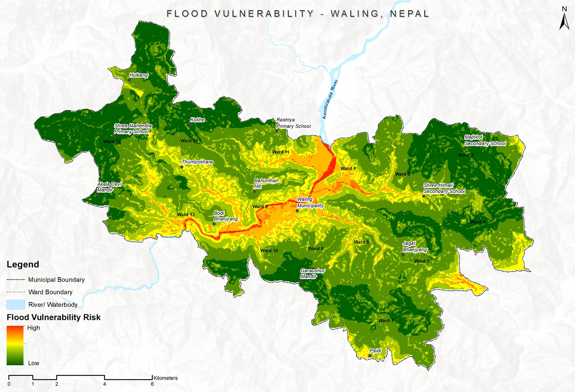
We modelled flood risk and assessed the hazards it creates for sanitation, and proposed practical measures to reduce them. The results informed the town’s flood management recommendations.
Wastewater Management Planning
We assessed existing facilities, designed integrated wastewater management plans and proposed options for treating greywater, with an emphasis on sustainable sanitation for both the environment and the community.
Greywater Management Pilot Zones
The town was divided into greywater management zones based on watershed, built-up area and population density. The first phase targeted high-density settlements, with interception and diversion (I&D) systems near the existing FSTP.
Cost Estimates and Phased Plans
We prepared detailed cost estimates and phased implementation plans so that the municipality could adopt the recommendations step by step and within its means.
Regulatory Reform Recommendations
Alongside the technical solutions, we recommended regulatory reforms to support a climate-resilient, inclusive citywide sanitation plan for Waling.
Results
- A climate-resilient CWIS plan covering all 14 wards of Waling Municipality.
- Every building classified by risk: 5,924 in safe zones, 1,280 (9%) at flood risk and 3,447 hard to reach.
- Ward-wise desludging schemes and safe containment recommendations prioritised by risk.
- Greywater management zones, with interception and diversion near the existing FSTP as the first phase.
- Investment estimates, a phased implementation plan and regulatory reform recommendations.
Work Illustration
The flood vulnerability assessment used five parameters (elevation, precipitation, drainage density, slope and land cover), each given a weighted score based on its influence on flood risk. Drainage density measured surface runoff through the ratio of channel length to basin area, and land cover took account of proximity to water bodies and land use type. The assessment found that 1,280 housing units (9%) are at risk of flooding. These areas also face problems with toilets, including back-flow and non-functional soak pits.