Introduction
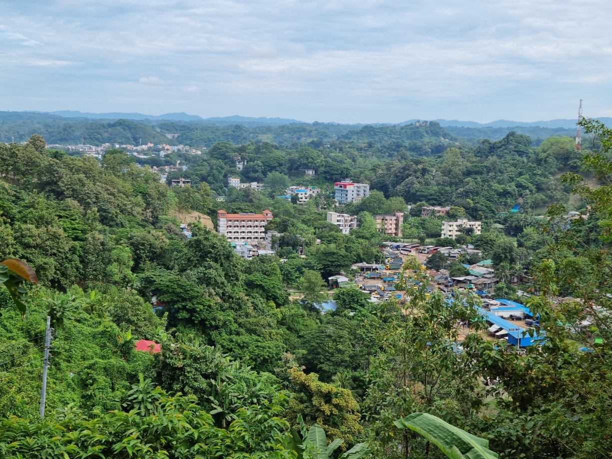
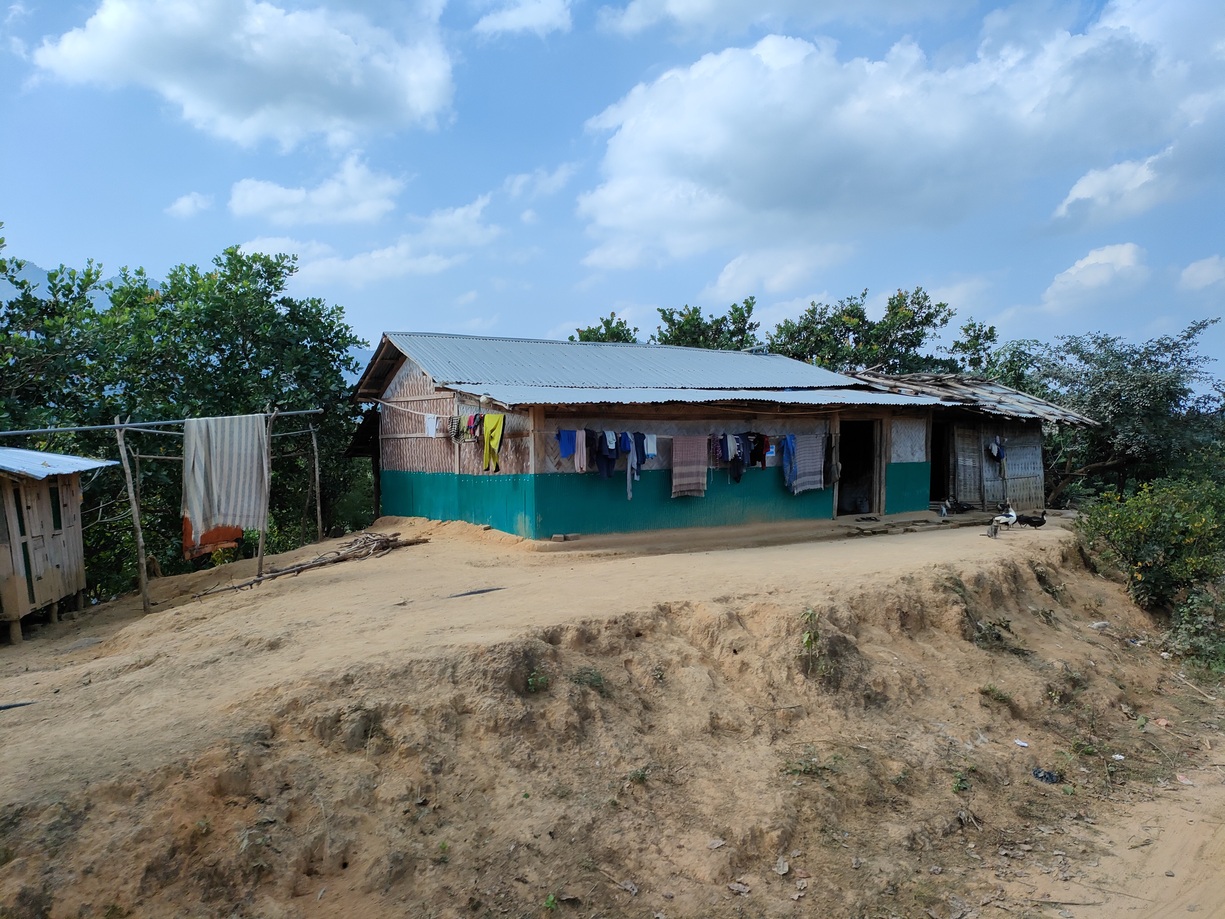
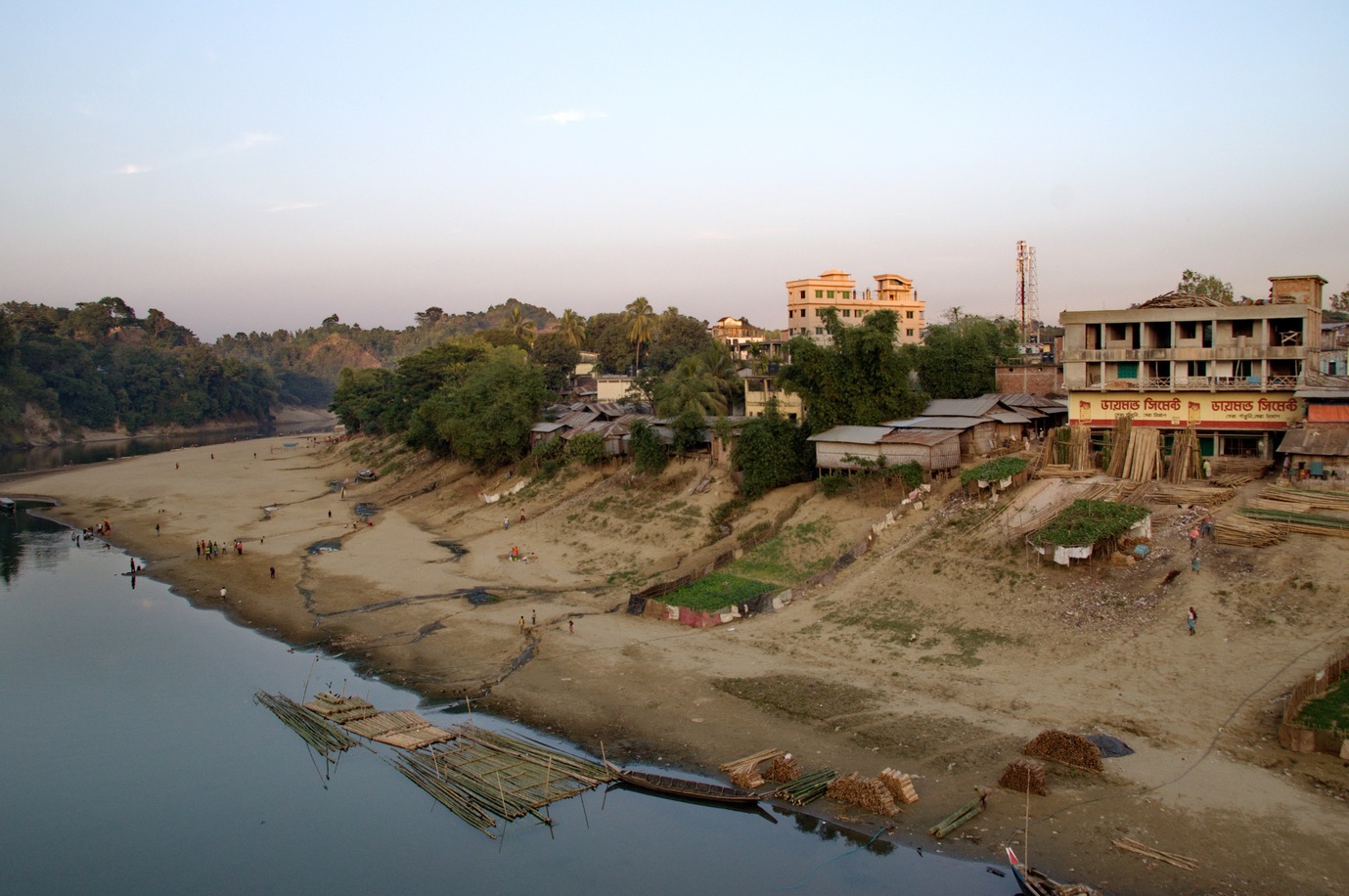
In the hill towns of Bandarban, Lama and Rangamati, households depend on pits and septic tanks, and steep slopes, flooding and settlements on unstable riverbanks make it hard to empty them safely or keep sludge out of rivers and lakes. Many buildings are hard for desludging trucks to reach, and economically vulnerable settlements need targeted support. The three municipalities, Bandarban and Lama in Bandarban district and Rangamati on Kaptai Lake, are gateways to the Chattogram Hill Tracts.
Project info
- Client: CWIS Technical Assistance Hub for South Asia (TA Hub), managed by DevConsultants Limited
- Funder / programme: Gates Foundation; ADB-funded water supply and sanitation project in the Chattogram Hill Tracts
- Period: Feb 2022 – Apr 2022
- Location: Bandarban, Rangamati and Lama, Bangladesh
Scope
Funded by the Asian Development Bank (ADB), the wider project aims to improve water supply, sanitation and solid waste management in the Chattogram Hill Tracts. Its main focus is better sanitation infrastructure, with particular attention to climate resilience, gender equality and social inclusion. It also strengthens the capacity of local authorities to manage the new infrastructure and promotes behaviour change in communities so that improved sanitation practices last.
Our assignment was to prepare citywide inclusive sanitation (CWIS) plans for the three municipalities, based on the data collected by the DevConsultants team.
Did You Know?
- Bandarban is often referred to as the "Land of the Thunderbolts" because of its frequent thunderstorms.
- Rangamati is famous for its beautiful Kaptai Lake, the largest artificial lake in Bangladesh.
- Bandarban district is also home to Boga Lake, a natural lake in the hills at about 380 metres (1,250 feet) above sea level.
Services Delivered
Data Cleaning and Evaluation
We cleaned and evaluated both spatial and non-spatial data to give a reliable dataset for decision-making.
Spatial Analysis Across the Value Chain
We applied spatial analysis across the whole sanitation value chain (containment, emptying, transport, treatment and reuse or disposal) to identify technology upgrades.
Regulatory Framework and Compliance Monitoring
Building on the spatial analysis, we outlined a regulatory framework with monitoring indicators to track compliance with sanitation standards.
Risk Assessments and FSTP Locations
We modelled flood risk, mapped risk areas and bulk wastewater generators, and identified potential sites for faecal sludge treatment plants (FSTPs).
Investment Estimates and Implementation Plan
We prepared investment estimates and an implementation plan to direct resources to the sanitation interventions with the highest impact.
Project Deliverables and Climate-Resilient Solutions
Deliverables included presentations, CWIS plans and technology options with cost estimates, together with sanitation solutions designed for the climate vulnerabilities of each town.
Results
- CWIS plans for three municipalities: Bandarban, Rangamati and Lama.
- Risk-based containment plans for each town, covering flood vulnerability, proximity to water bodies, hard-to-reach buildings and economically vulnerable settlements.
- Potential FSTP sites identified for the project towns.
- Investment estimates, an implementation plan, a regulatory outline with monitoring indicators, and business plans covering tariffs and financial sustainability.
Work Illustration
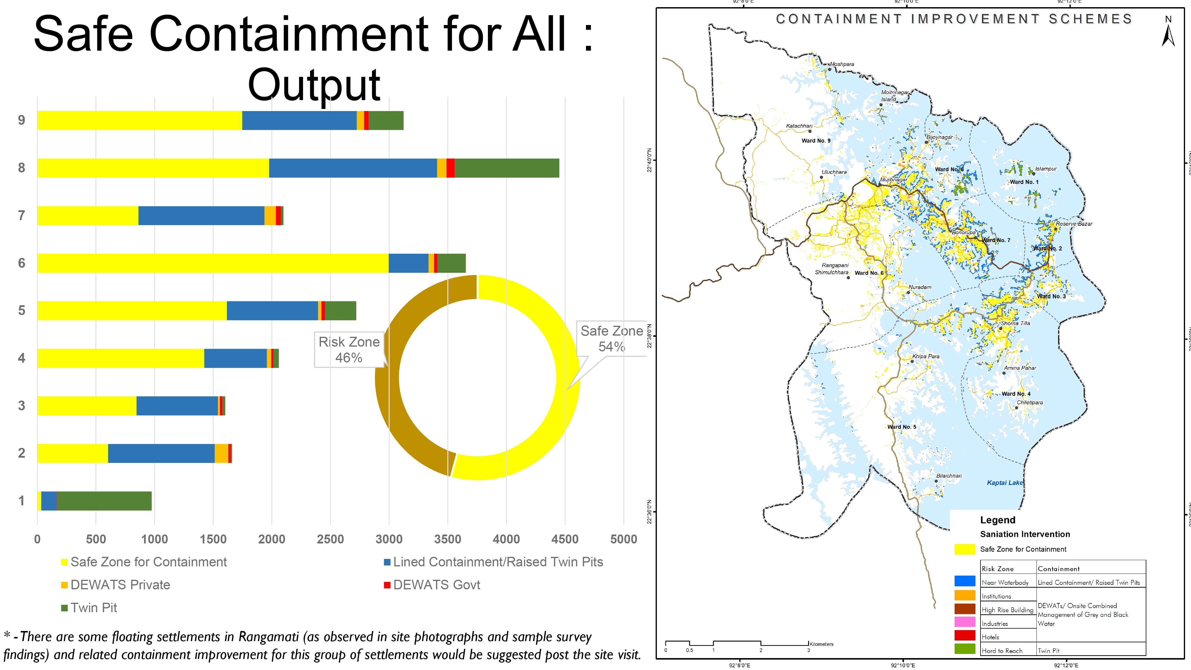
We proposed several containment strategies for Rangamati, each matched to the intensity and type of risk. Risks were ranked by flood vulnerability, proximity to water bodies, heavily used areas, hard-to-reach buildings, economically vulnerable settlements and public utilities, with flood risk the highest priority and public toilets the lowest. The recommended containment improvements include lined containment, raised twin pits, decentralised wastewater treatment systems (DEWATS) or combined management of greywater and blackwater, and twin pits.