Introduction
Like most small settlements in Madhya Pradesh, Barman Kalan and Datora have no sewerage, so household wastewater runs into open drains and the surrounding land. Designing a piped sewer network and a treatment plant for them required accurate terrain, road and building data at a level of detail that standard maps do not provide. Barman Kalan is a census town of 8,143 people in Narsinghpur district, and Datora is a village of 994 people.
Project info
- Client: WaterAid India (Jal Seva Charitable Foundation)
- Period: Mar 2022 – Aug 2022
- Location: Barman Kalan (Narsinghpur district) and Datora, Madhya Pradesh, India
Scope
The aim was to introduce a sewerage pipe network and an environmentally conscious sewage treatment plant (ECO-STP) to create a sustainable system for liquid waste management in the Barman Kalan and Datora Panchayats of Madhya Pradesh. WaterAid India, through the Jal Seva Charitable Foundation, designated both as model Panchayats, so that a successful pilot here could serve as a template for other Panchayats, particularly those facing water-related challenges.
Did You Know?
- Datora is part of the bustling city of Indore, which is known as an industrial and commercial hub of Madhya Pradesh.
- Barman Kalan in the Narsinghpur district is known for its rich agricultural heritage.
Services Delivered
Drone and GIS-Based Mapping for Piped Sewerage Network
We used drone surveys and a geographic information system (GIS) to map both project areas as the basis for planning the piped sewerage network.
Orthorectified Images and Digital Elevation Data
We produced orthorectified images and digital elevation data and integrated them into a GIS.
Road and Building-Level Data Collection
We collected road and building-level details and added them to the GIS dataset.
Detailed Settlement and Ward-Level Maps
Using the collected data, we generated detailed maps at settlement and ward level for the whole project area.
High-Resolution Elevation and Land Cover Profiles
We generated high-resolution elevation profiles for both Panchayats to show the terrain, and land cover profiles to identify and categorise land uses within the project area.
Results
- Drone surveys completed for both Barman Kalan and Datora.
- Orthorectified imagery and digital elevation data for both Panchayats, delivered in GIS format.
- A road and building-level GIS dataset.
- Settlement and ward-level maps, plus high-resolution elevation and land cover profiles, to support design of the sewer network and ECO-STP.
Work Illustration
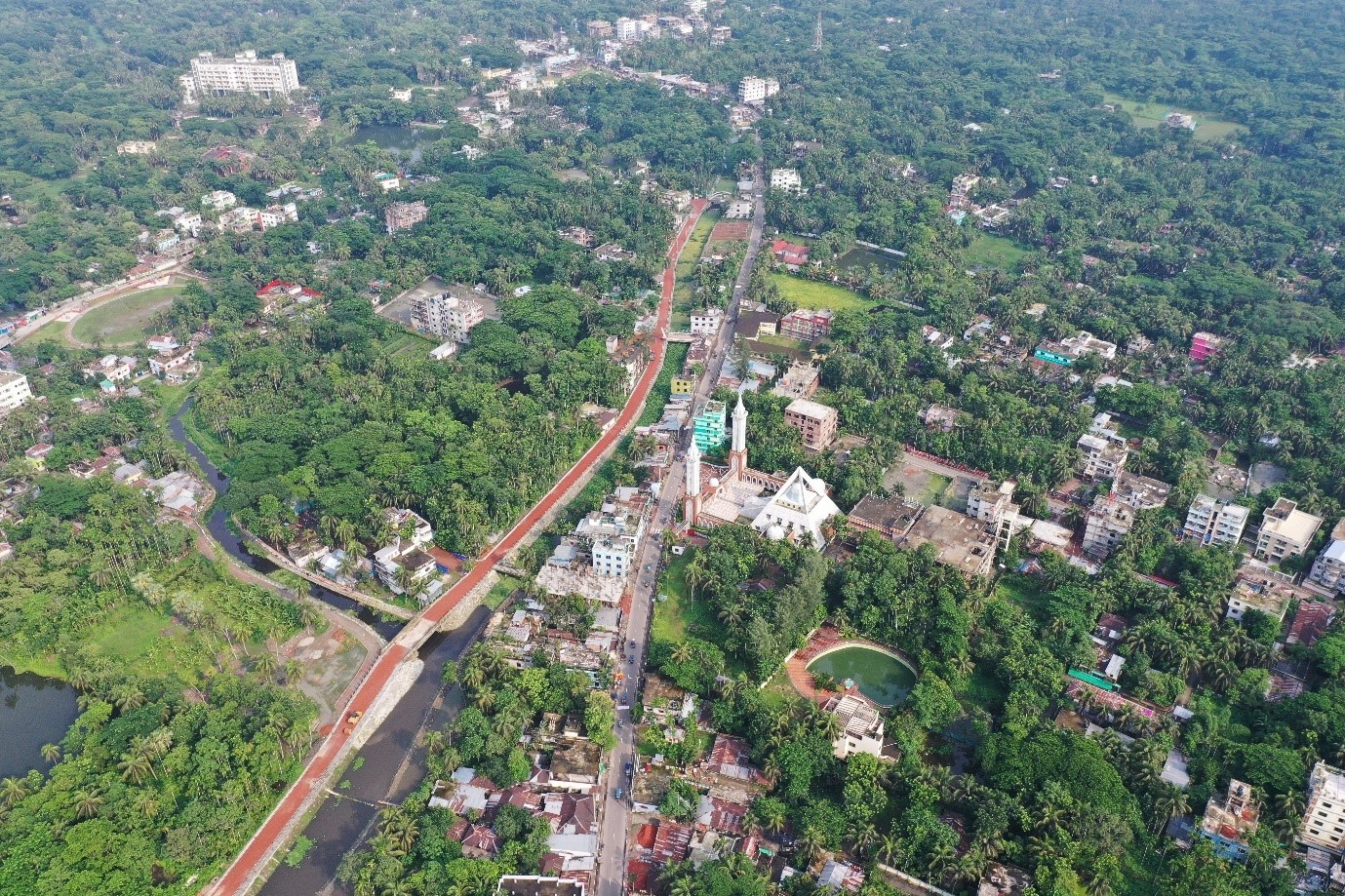
The drone and GIS outputs give a detailed picture of terrain, roads and buildings in both Panchayats, providing the base data needed to align the sewer network and site the ECO-STP.